
About Aeronorth
Elevating Your Perspective
Aeronorth is a leading drone survey company specializing in providing high-precision aerial data for construction projects and natural resource management. Founded in 2018, we've helped hundreds of clients make better decisions with accurate aerial insights.
Our team of Transport Canada-certified drone pilots and data specialists combines cutting-edge technology with industry expertise to deliver actionable intelligence that drives project success.
200+
Projects Completed
98%
Client Satisfaction
15+
Industry Experts
5
Years of Excellence
Our Services
We provide comprehensive drone survey solutions tailored to your specific needs, delivering actionable insights for informed decision-making.
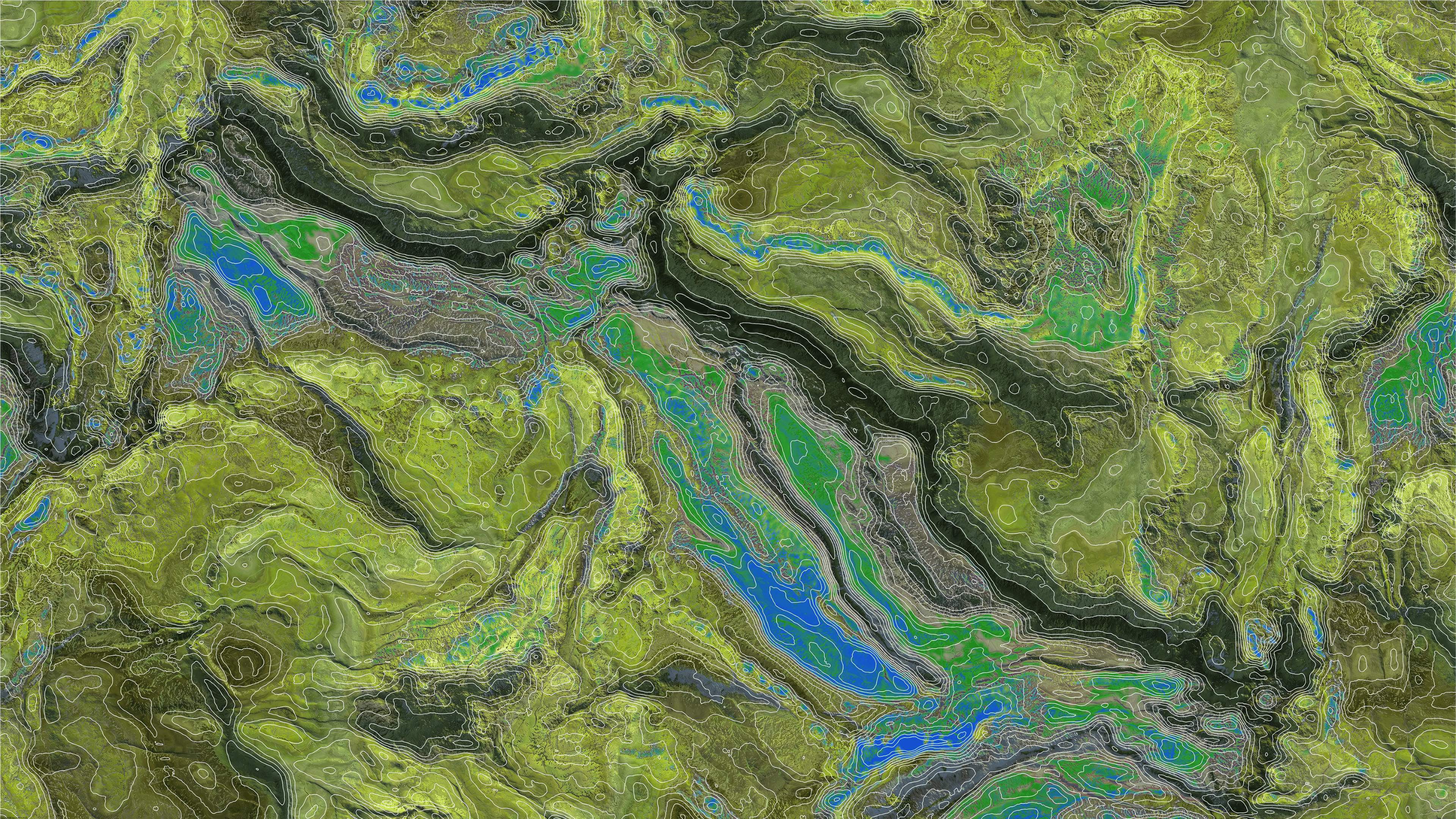
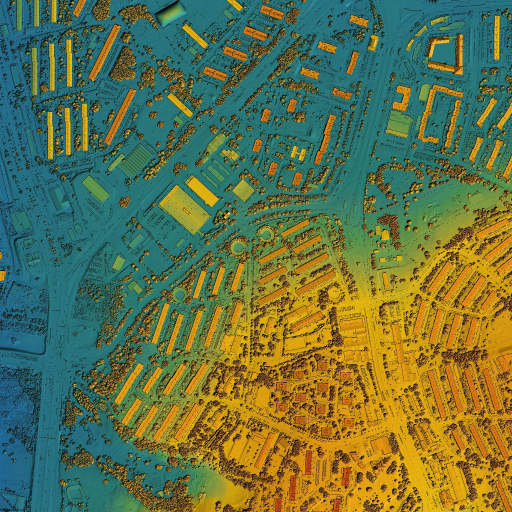
Aerial Mapping
High-precision aerial mapping services for construction, land development, and infrastructure projects. Our drones capture detailed orthomosaic maps and digital elevation models with centimeter-level accuracy.
Key Features:
- Orthomosaic Maps
- Digital Elevation Models
- Contour Maps
- GIS Integration
Featured Projects
Explore our portfolio of successful drone survey projects across various industries.
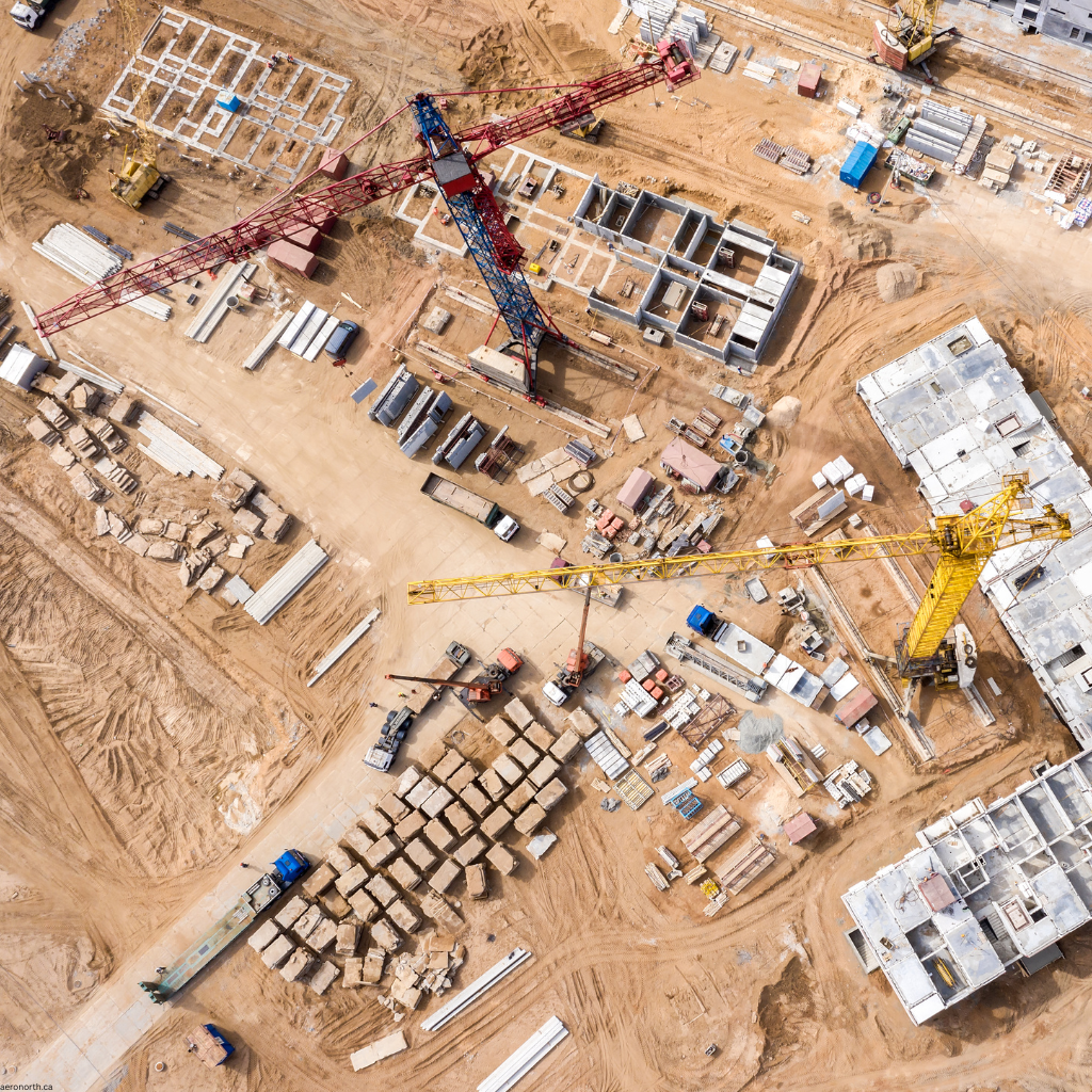
Highway Construction Monitoring
Biweekly drone surveys to monitor progress and calculate earthwork volumes for a major highway expansion project.
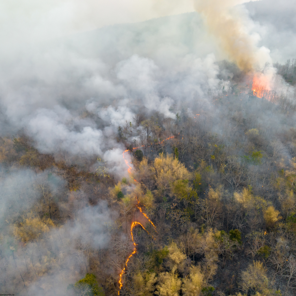
Forest Health Assessment
Multispectral imaging to assess forest health and identify areas affected by pine beetle infestation.
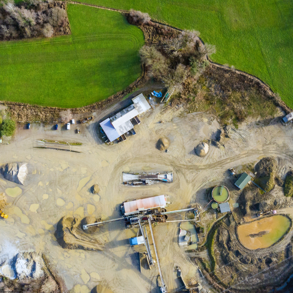
Quarry Volumetric Analysis
Monthly volumetric surveys to track material extraction and inventory management at a limestone quarry.
Solar Farm Inspection
Thermal imaging inspection of a 50MW solar farm to identify faulty panels and optimize energy production.
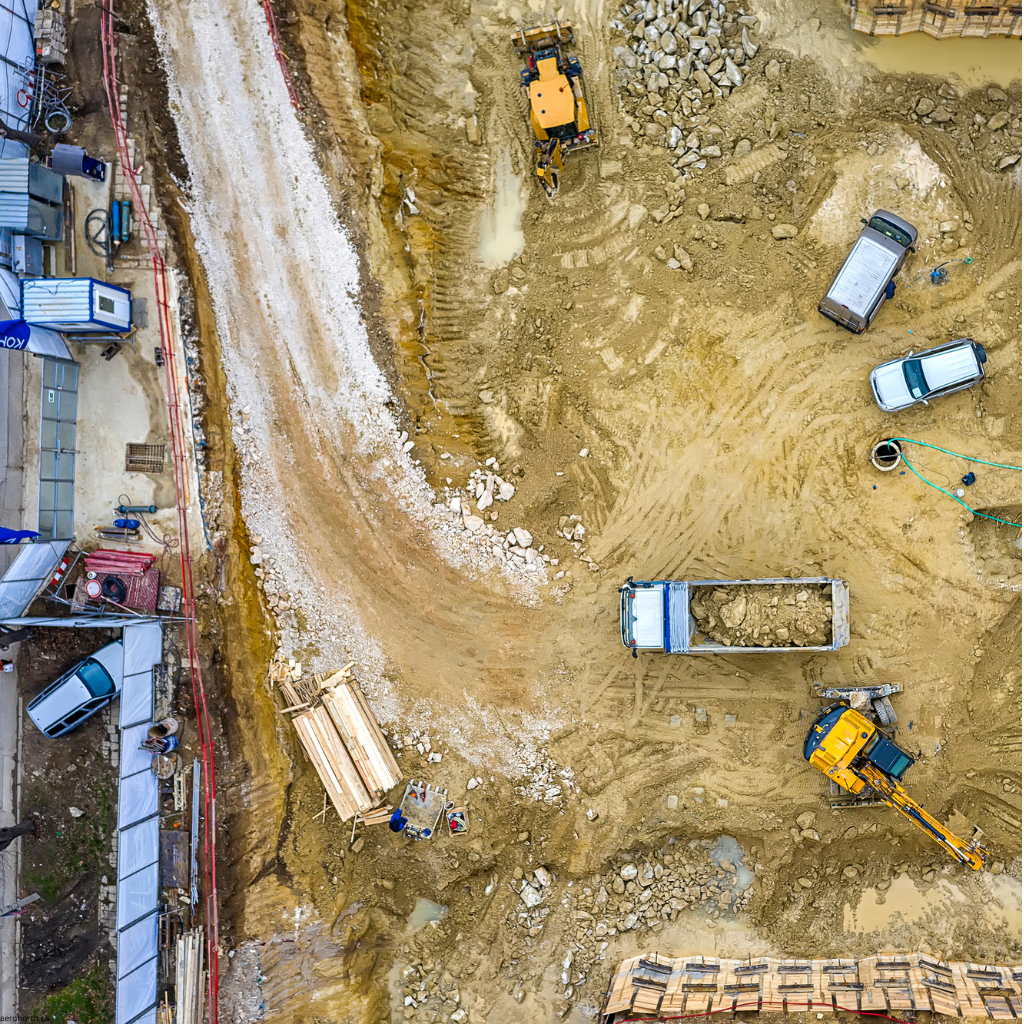
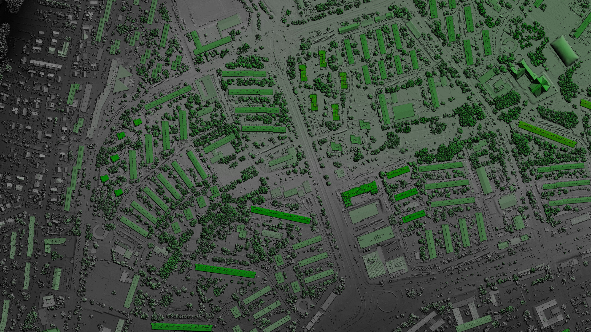
Urban Development Mapping
Comprehensive mapping of a 200-acre urban development project to support planning and construction.
Coastal Erosion Monitoring
Quarterly surveys to monitor coastal erosion and support shoreline management planning.
Regulatory Compliance
Aeronorth operates in full compliance with Transport Canada regulations to ensure safe and legal drone operations.
Transport Canada Certified
Our pilots hold Advanced Operations certificates from Transport Canada, allowing us to operate in complex airspace and near people. We maintain comprehensive flight logs and follow strict safety protocols for all operations.
- Advanced Operations Certificate
- RPAS Safety Assurance
- Special Flight Operations Certificate (SFOC) when required
Insurance & Safety
Aeronorth carries comprehensive liability insurance that exceeds Transport Canada requirements. Our safety management system includes pre-flight assessments, weather monitoring, and continuous training for all pilots.
- $2M Liability Insurance
- Comprehensive Safety Management System
- Regular Equipment Maintenance & Inspections
Contact Us
Ready to elevate your project with aerial insights? Get in touch with our team to discuss your specific needs.
Get In Touch
Whether you have a question about our services, pricing, or anything else, our team is ready to answer all your questions.
Phone
+1 (250) 555-1234
info@aeronorth.ca
Office
123 Victoria Street
Kamloops, BC V2C 1A4
Canada
Service Areas
British Columbia
Alberta
Saskatchewan
Manitoba
Yukon
Northwest Territories